Where is Rockingham County, Virginia?
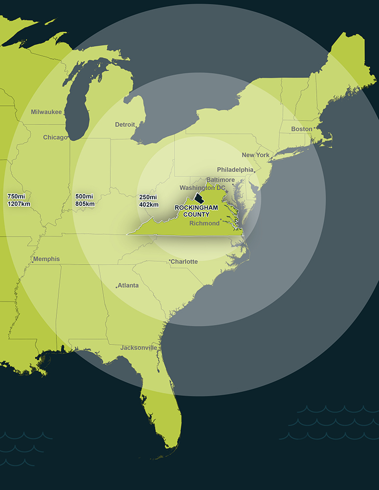
Rockingham County is located in the heart of the historic and scenic Shenandoah Valley in west central Virginia. The Allegheny Mountains form the region's border to the west, and the crest of the Blue Ridge Mountains borders the east.
Three major interstates, I-81, I-66, and I-64 create a strategic transportation network that provides one-day access to two-thirds of the U.S. population.
Washington, D.C., the nation's capital, is 125 miles to the northeast. Richmond, the capital of Virginia, is 131 miles southeast.
Distances & Drive Times to Major Locations/Markets
| Location | Distance (Miles) | Drive Time (Hours) |
|---|---|---|
| Baltimore, MD | 169 | 3:00 |
| Baltimore-Washington International Airport | 166 | 2:55 |
| Charlotte, NC | 295 | 5:05 |
| Charlottesville, VA | 61 | 1:10 |
| Charlottesville Regional Airport, Charlottesville, VA | 48 | 1:10 |
| Dulles International Airport, Wash., D.C. | 118 | 2:12 |
| Knoxville, TN | 357 | 6:04 |
| Lexington, KY | 412 | 7:05 |
| New York City, NY | 348 | 5:60 |
| Philadelphia, PA | 267 | 4:48 |
| Pittsburgh, PA | 258 | 4:45 |
| Port of Hampton Roads, VA | 219 | 3:52 |
| Raleigh, N.C. | 284 | 5:14 |
| Reagan National Airport, Washington D.C. | 127 | 2:22 |
| Richmond, VA | 128 | 2:18 |
| Richmond International Airport, Richmond, VA | 137 | 2:27 |
| Roanoke, VA | 110 | 1:57 |
| Roanoke Regional Airport, Roanoke, VA | 108 | 1:58 |
| Shenandoah Valley Regional Airport, Weyers Cave, VA | 16 | 0:33 |
| Virginia Beach, VA | 235 | 4:05 |
| Washington D.C. | 131 | 2:19 |
| Winston-Salem, NC | 215 | 4:35 |
Source: MapQuest Driving Directions